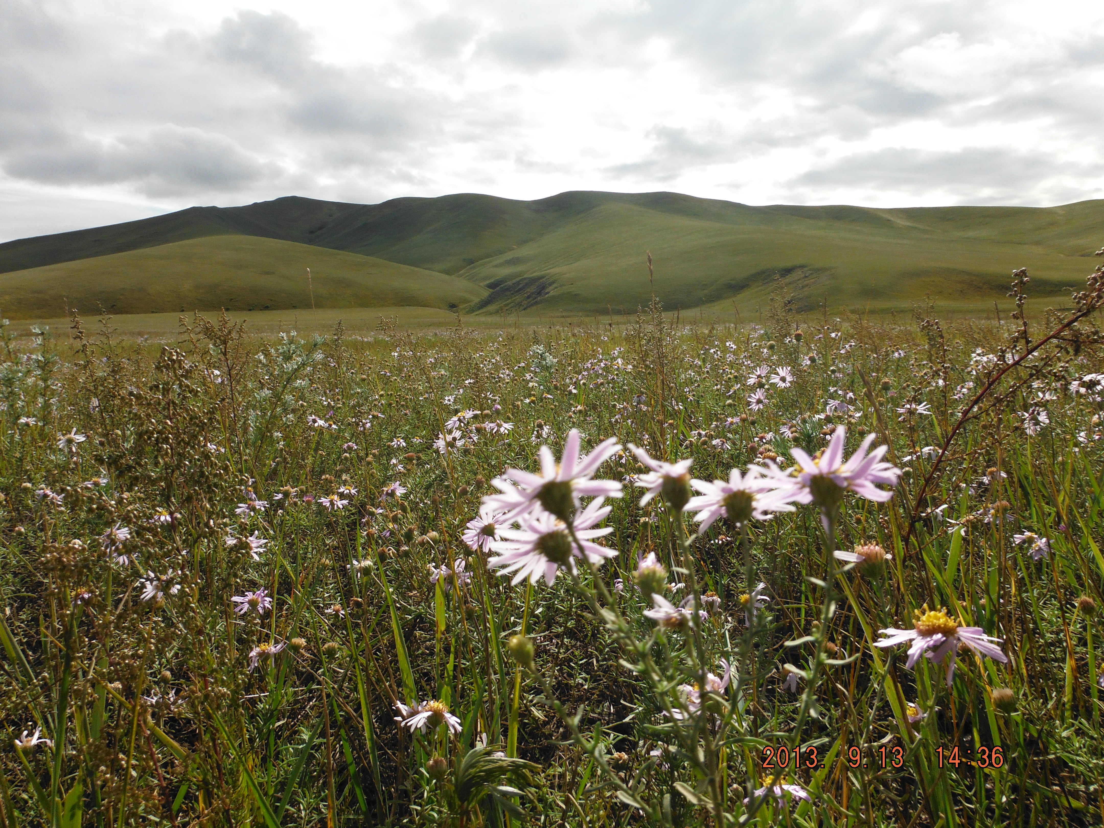
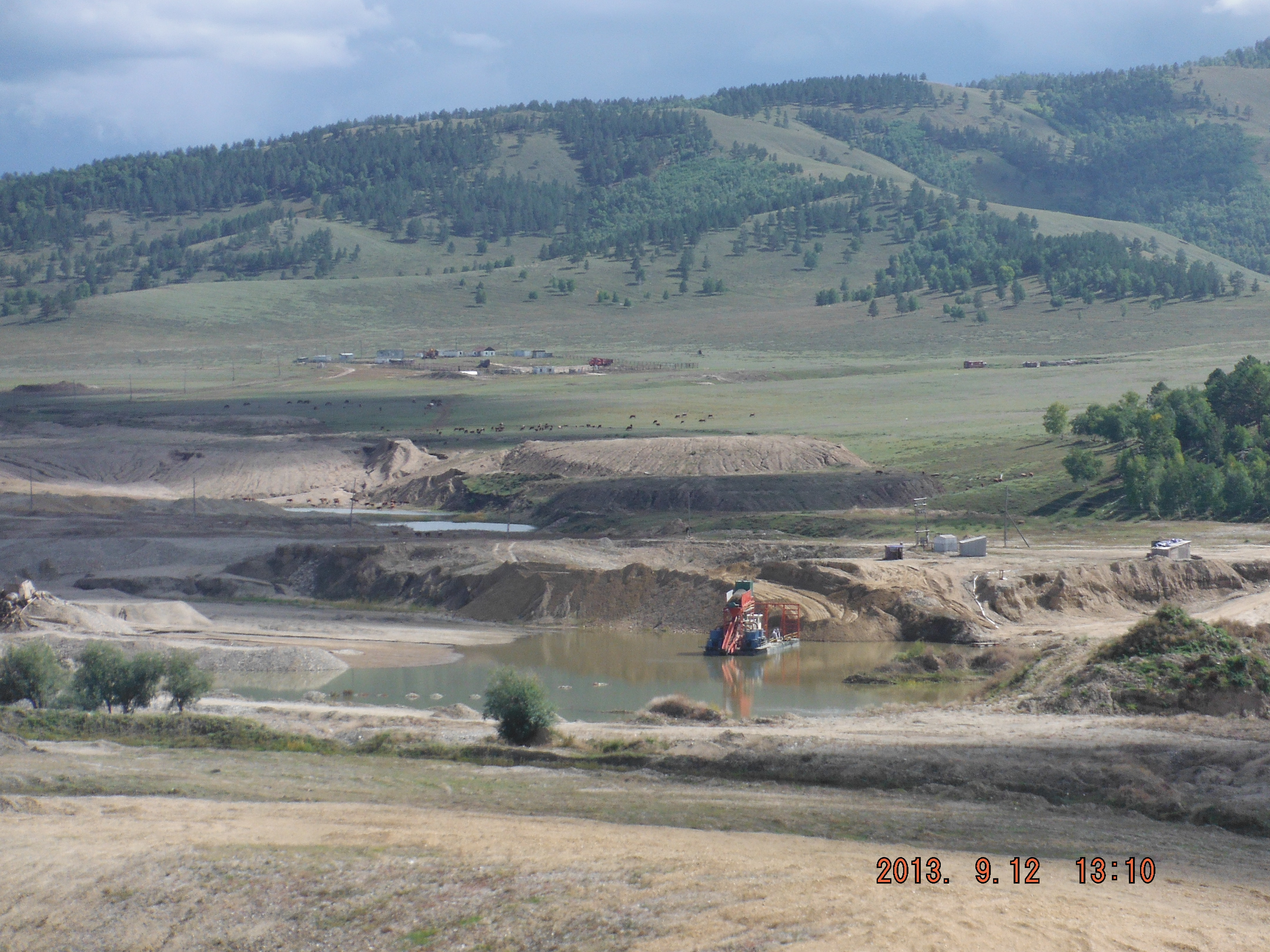
In September 2013, CMLR’s Phill McKenna travelled to Mongolia as part of the ADRAS (Australian Development Research Awards Scheme) project to ground truth a series of Landsat satellite images. These images have been collated into a 40 year time-series showing the rapid expansion of coal mining in the South Gobi Desert and small scale artisanal mining in northern Mongolia.
Two videos were produced by Phill using Landsat satellite imagery of Tavan Tolgoi coal mine in the South Gobi Desert and Sharyn Gol in the Northern steppe regions of Mongolia, and clearly show the dramatic expansion of Mongolian mine sites.
Through image analysis, ongoing research by CMLR is demonstrating the exponential growth of the coal mine footprint in the South Gobi Desert, which is closely correlated with increased road impact on the region’s sensitive desert landscape.
 |
 |
 were part of the European-led m4mining consortium that delivered a hyperspectral imaging system capable of mapping surface patterns of minerals, soils, and plants from the air in real time, aiding exploration and mining activities.")
")
