Published on: 6 December 2019
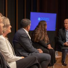
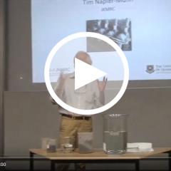
And that’s a wrap! The Sustainable Minerals Institute (SMI) and Australian Broadcasting Corporation (ABC) hosted the Global Leadership Series event Minerals, materials and a sustainable future after months of planning, dozens of interviews, meetings with subject matters experts, and a couple of technical quandaries - and its already been picked up for broadcast.