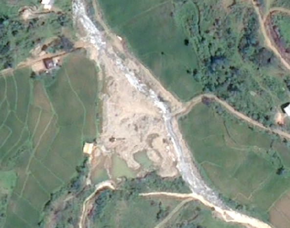
This 3-year project investigated the feasibility of applying high resolution satellite imagery to detect changes in land use and water quality in a remote, mountainous mining region of Philippines.
It was a partnership with the International River Foundation (IRF) and supported extensively with data provision by OceanaGold (Philippines). Results show the promise of remote sensing to map land and water footprint of small-scale land use changes. (MPhil project of Celso Isidro).