 How do engineered landscapes respond to fire? This project aims to test established rehabilitation by applying fire and measuring the vegetation and land form response in the 2 years following the burn.
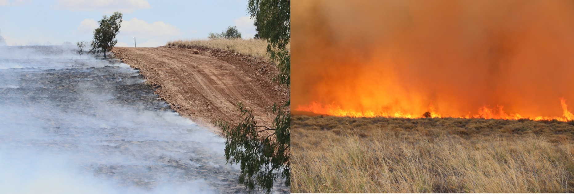
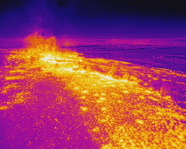
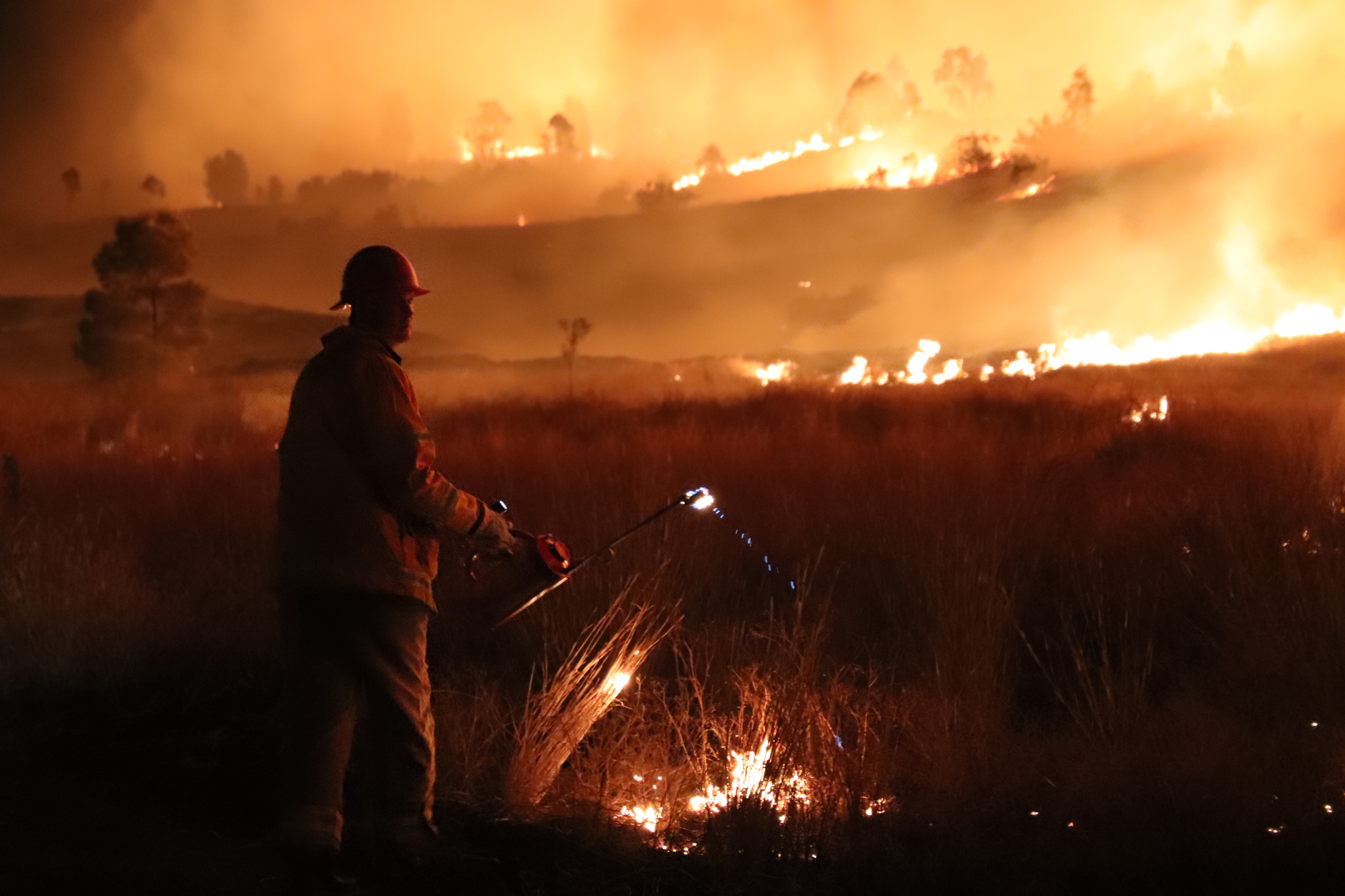
The project is using high spatial and temporal spectral imagery captured by drone along with ground surveys to assess fire severity and recovery, and determine the long-term impacts on lease relinquishment for a number of sites in Queensland and New South Wales. Fires have been conducted at Curragh Mine, Glencore Newlands Mine (night burn photos) and Ensham Mine.