In collaboration with the Environmental Research Institute of the Supervising Scientist (ERISS, Department of Agriculture, Water and the Environment) we are developing and refining approaches to monitor the rehabilitation of current and legacy mines in the Alligator Rivers Region (ARR), in the Top End of the Northern Territory.
Alligator Rivers Region
We have worked to understand the rehabilitation history of the ARR by developing a state and transition model for the region. This model facilitates an understanding of the rehabilitation trajectory, and of how desired and undesired states could develop in vegetation communities. Model states relate to the success (or failure) of rehabilitation efforts. In a paper outlining the model, we describe the history of the ARR which informed identification of desired and undesired states within the state and transition model: https://doi.org/10.1016/j.jclepro.2019.119079
Ranger Uranium Mine
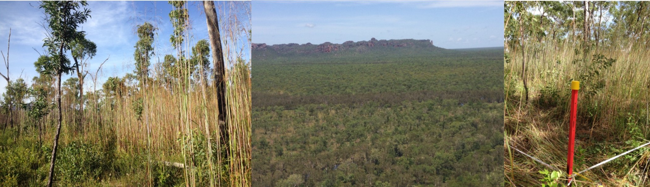
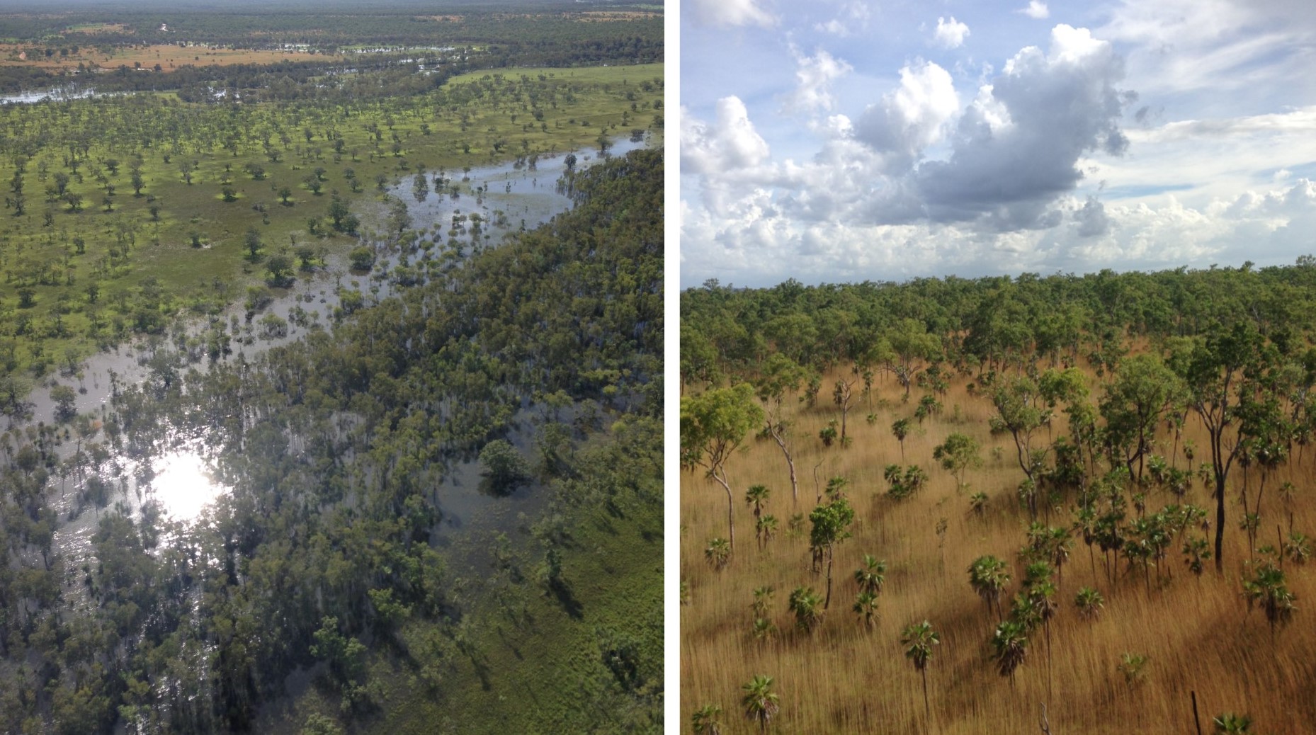
Ranger is a high-profile mine, surrounded by the world heritage Kakadu National Park. This project aims to understand different aspects of Ranger’s reference ecosystems (undisturbed areas of the mine lease and Kakadu National Park) and evidence of restoration failure and success in the region in order to set closure criteria, provide benchmark information, and guide works to restore the mine and monitor its progression.
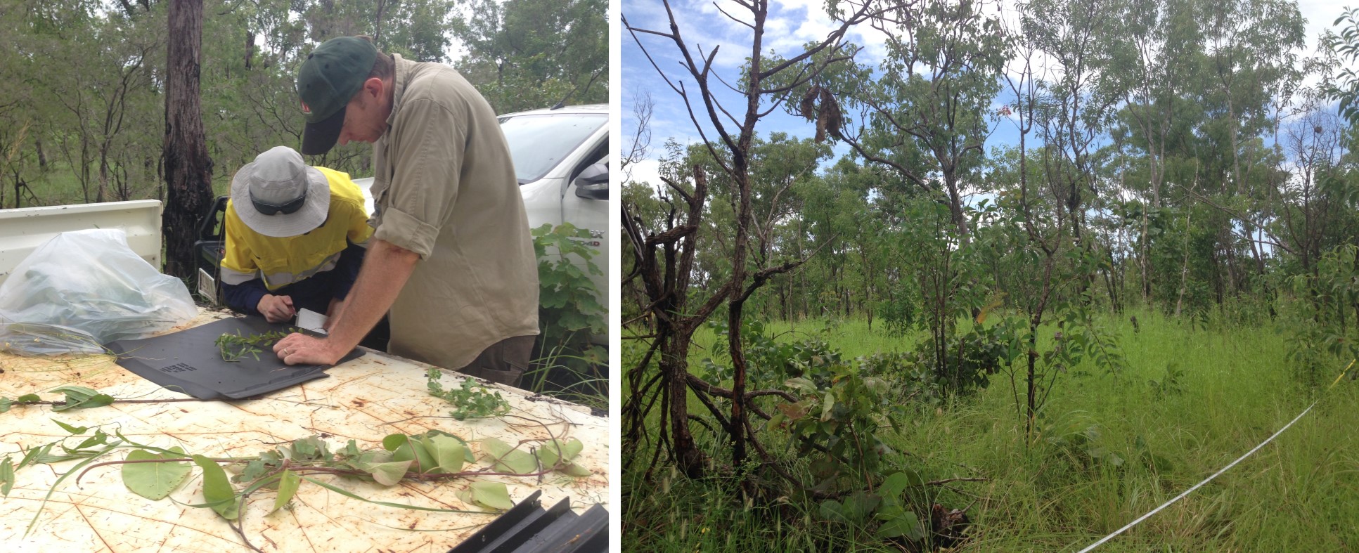
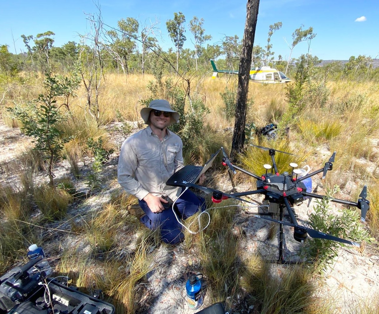
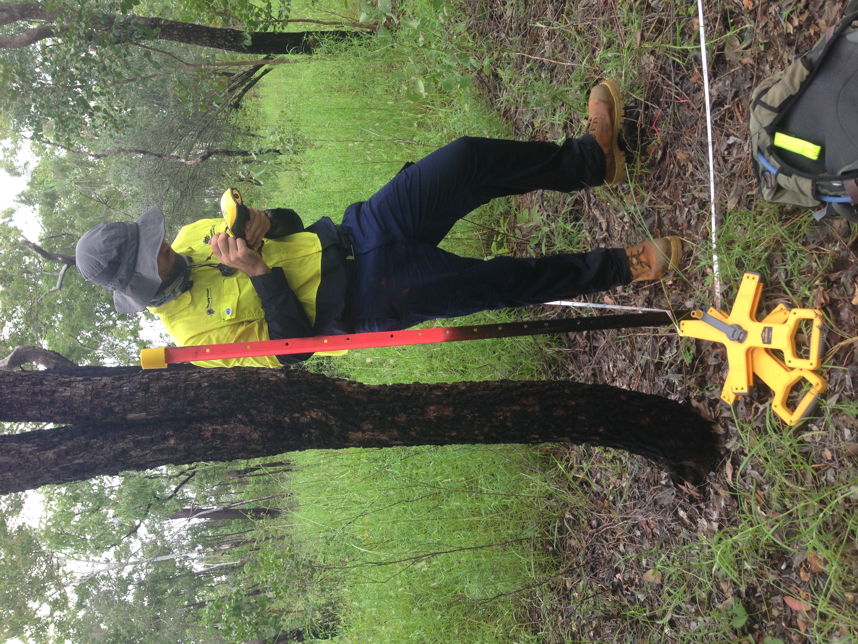
This project has relied on a range of techniques including fieldwork (surveys and UAV imagery), GIS and remote sensing, laboratory work, quantitative and qualitative analyses and literature reviews. We have extensively investigated the adequacy of reference ecosystems and the level of understanding of reference systems required to monitor restoration progress.
This has included:
- Reviewing existing reference site data from historical work by government and industry
- Establishing a comprehensive approach for selecting reference sites https://doi.org/10.1111/rec.13278
- Analysing the effect of scale (plot size) on ecological metrics to understand which metrics can be adequately assessed through vegetation surveys alone, and which ones require additional analyses.
- Assessing the potential to use UAV (drone) imagery to identify understorey species https://doi.org/10.3390/drones3010009
Identifying overstorey (tree) species based on UAV imagery
Exploring the use of UAV data to assess ecosystem health
Investigating how the spatial and temporal scale of measurement impacts measurements of ecosystem structure, function and resilience
Conducting soil sampling, and associated laboratory analyses of physical and chemical characteristics
 In addition, for this project, we have:
Reviewed Mine Closure Plans
Reviewed previous efforts to monitor vegetation and fauna in and around Ranger Mine
Assessed closure criteria for vegetation and fauna
Provided benchmark information, including analyses of the composition, structure, and function of vegetation.
Nabarlek Uranium Mine, West Arnhem Land
Nabarlek was one of the first mines to undergo a formal rehabilitation process in Australia. The small but high-grade deposit was extracted over one dry season in 1979 with milling of stockpiled ore up to 1988 producing nearly 11,000 tonnes of uranium oxide. After a period of ‘moth-balling’ Nabarlek was rehabilitated in 1995 and offers an opportunity to assess the condition of a rehabilitated mine in this region after 25 years.
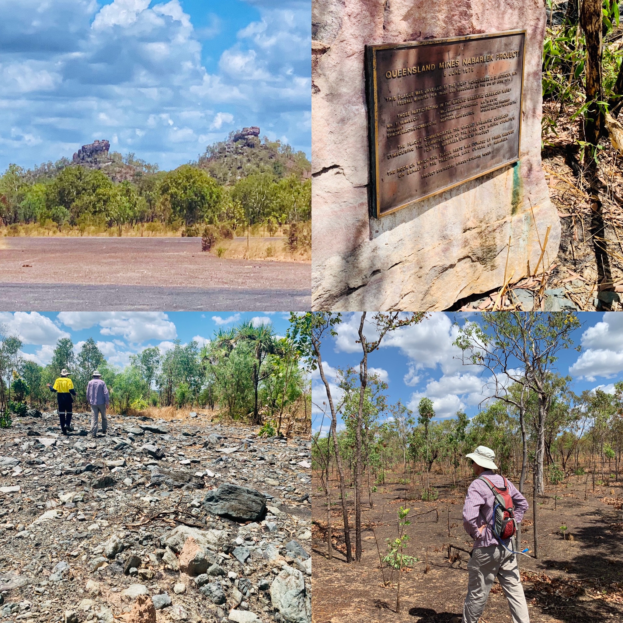
Whilst landforms have been stabilised and vegetation established there remain some areas where management interventions may be needed for achievement of originally desired objectives of supporting ‘self-sustaining woodland communities’ that ‘blend with the surrounding forests’. 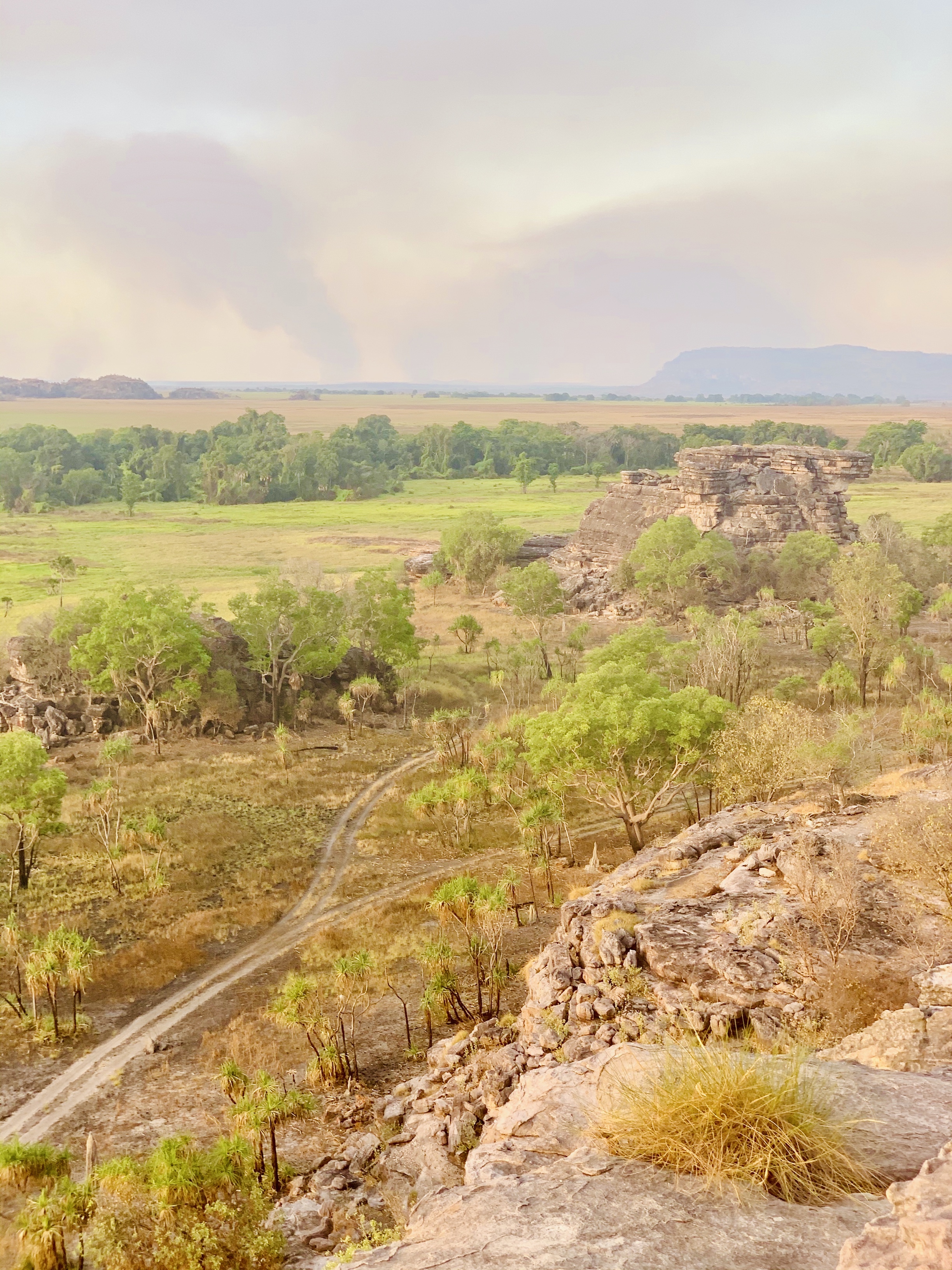
We are assessing the status and trajectory of the rehabilitation at Nabarlek Mine. This will include comparison of rehabilitated areas with surrounding vegetation communities to investigate aspects such as:
- Establishment of similar plant diversity and vegetation structure at different scales
- Levels and processes of plant recruitment
- Resilience after disturbances (fire and cyclone)
- Recolonization and use by fauna
- Aspects of soil chemistry, soil physical condition and soil biota condition relevant to establishment of sustainable vegetation communities
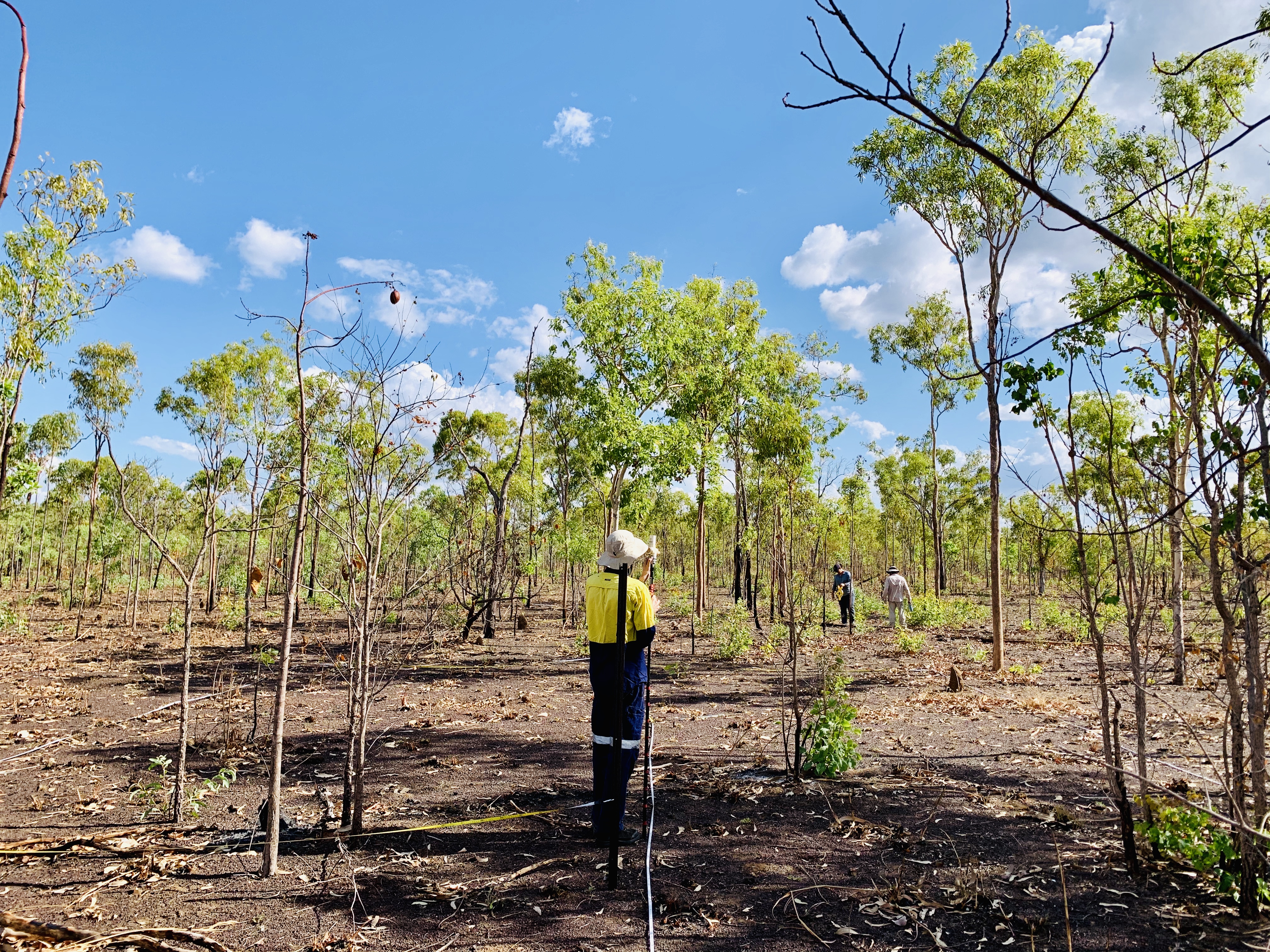 Establishment of permanent monitoring transects by the Supervising Scientist at Nabarlek has allowed us to compare some of these aspects in the same locations over time.
Nabarlek was the first uranium mine rehabilitated under an agreement with traditional owners. We are therefore also researching traditional owner perspectives of the rehabilitation at Nabarlek.
Ranger Uranium Mine, has similar rehabilitation goals as Nabarlek and also needs to consider traditional owner perspectives. Lessons from rehabilitation work at Nabarlek are therefore very relevant to planning for closure of Ranger Mine.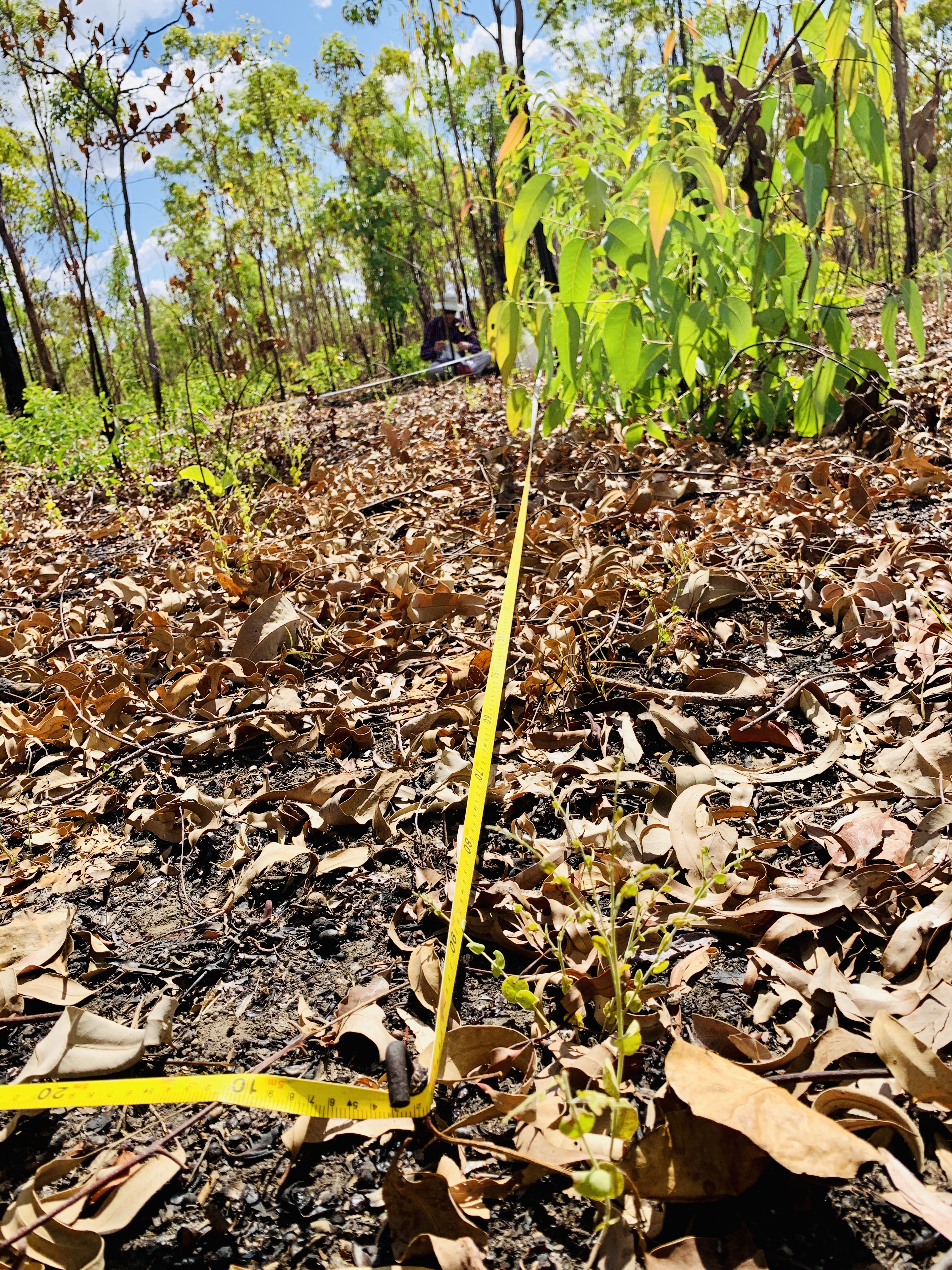
Publications produced for these projects
Hernandez-Santin, L., Rudge, M.L., Bartolo, R.E., Whiteside, T.G., Erskine, P.D., 2020. Protocols for reference site selection for mine site ecosystem restoration. Restoration Ecology. https://doi.org/10.1111/rec.13278
Hernandez-Santin, L., Erskine, P.D., Bartolo, R.E., 2020. A review of revegetation at mine sites in the Alligator Rivers Region, Northern Territory, and the development of a state and transition model for ecological restoration at Ranger uranium mine. Journal of Cleaner Production 246, 119079. https://doi.org/10.1016/j.jclepro.2019.119079
Hernandez-Santin, L., Rudge, M.L., Bartolo, R.E., Erskine, P.D., 2019. Identifying species and monitoring understorey from UAS-derived data: a literature review and future directions. Drones 3, 9. https://doi.org/10.3390/drones3010009
Erskine, P.D., Bartolo, R., McKenna, P., Humphrey, C., 2019. Using reference sites to guide ecological engineering and restoration of an internationally significant uranium mine in the Northern Territory, Australia. Ecological Engineering, 129 61-70.
https://doi.org/10.1016/j.ecoleng.2019.01.008