The Mineral deposit atlases are a resource for Queensland explorers to improve their capability to recognise the signatures and haloes of major deposits.
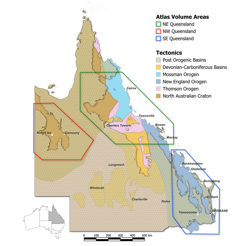
A set of Deposit Atlases for Queensland's North West Mineral Province and North East Mineral Province were created as part of the Strategic Resources Exploration Program and the New Economy Minerals Initiative and complied by the WH Bryan Mining Geology Research Centre (BRC) team.
Each Deposit Atlas contains a pdf report describing the deposit system, discovery history, geophysical and geochemical signatures and alteration of the system as well as a 3D Atlas datasets of all publicly available data.
Access the North West Mineral Province Deposit Atlas
Access the North East Queensland Mineral Deposit Atlas
Contact us
Get in touch to learn more about the mineral atlas series.
Professor Nick Cook
Group Lead, Total Deposit Knowledge